3rd Sustainable Coastal Development and Ocean Action MENA Forum
Digital tools. Coastal decisions.
I will join the forum to discuss how GIS, drones, satellite observations and digital twins can connect coastal science with decisions about development, ecosystems and climate adaptation.
Le Méridien Dubai Hotel & Conference Centre · Dubai, United Arab Emirates
THE INVITED TALK
The Role of Digital Tools and Data Analytics in Integrated Coastal Zone Management (ICZM)
Center for Geospatial Intelligence, American University of Sharjah
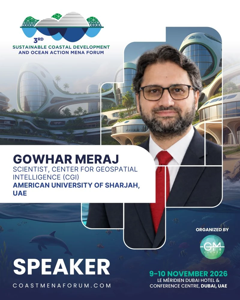 View photograph
Coastal planning brings together decisions about development, infrastructure, ecosystems and the communities that depend on them. Understanding how these relationships change over time is essential for effective adaptation.
I am pleased to join the 3rd Sustainable Coastal Development and Ocean Action MENA Forum to speak on “The Role of Digital Tools and Data Analytics in Integrated Coastal Zone Management (ICZM).”
My presentation will explore how GIS, drones, satellite observations and digital twins can help us understand coastal change, examine future climate impacts and assess competing spatial priorities.
For me, the value of these tools lies in connecting scientific evidence with practical decisions: where to build, which ecosystems to protect, and how to reduce the exposure of coastal communities and infrastructure.
Thank you to the organisers for the invitation. I look forward to exchanging ideas with colleagues working towards resilient coastlines across the MENA region.