Dr. Gowhar MerajENVIRONMENT · SPACE · SOCIETY

ENVIRONMENTAL SCIENTIST · GEOSPATIAL INTELLIGENCE

Dr. Gowhar Meraj

Spatial Thinking & Intelligence.

Environmental change has a geography.
So do its consequences for people.

I connect Earth observation, environmental science and spatial analysis to understand a changing world.

Faculty Research Fellow · American University of Sharjah
Former JSPS Postdoctoral Fellow · The University of Tokyo

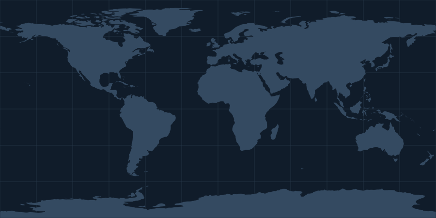
World reference map. Explore research locations using the links below.
Full atlas
Published researchSelect a layer or a place

Explore the full research atlas and the places below.

EXPLORE THE GEOGRAPHY

A world of connected questions.

Select a point to find the work behind the place.

Open the research atlas
START SOMEWHEREHimalayas United Arab Emirates Japan Reference locations · Published evidence

LATEST RESEARCH / SCIENCE TO POLICY

Research, explained.

Two recent papers, their findings and what they mean for decisions.

Google Scholar · Checked 21 Oct 2026, 09:07 UAE

Coastal hazards & early warningLatest research

Mangrove monitoring needs a clear route to action.

The research in plain language

Our review examines how satellites, drones and field sensors can monitor interacting pressures on arid mangroves. The reviewed studies show progress in mapping and detecting ecological stress, but none combines observation, forecasting, uncertainty, verification, communication and institutional response in a complete early-warning service.

For policy and practice

Coastal managers can test locally relevant warning thresholds and agree who responds to an alert before expanding monitoring networks.
UAE mangroves & restorationLatest research

Mangrove gains matter most when they last.

The research in plain language

Satellite records distinguish newly mapped mangroves from establishment that persists. Persistent gains cover 68.4% of the mapped gain area and account for a larger share of the satellite-based biomass-carbon signal.

For policy and practice

Restoration monitoring can track lasting establishment alongside hectares gained, helping target field checks and assess where restoration is enduring.

UPDATES / RESEARCH IN THE WORLD

Beyond the paper.

Conferences, conversations and ideas
that connect research with the world.

All updates
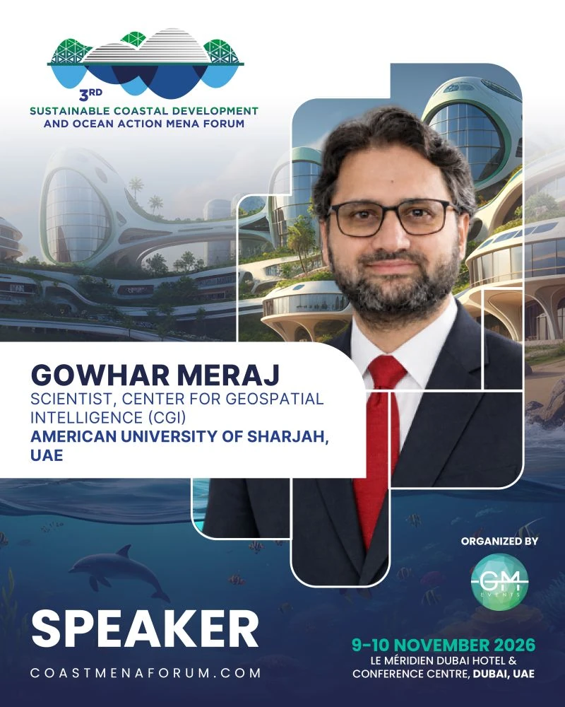
Organisers’ speaker announcement featuring Dr. Gowhar Meraj for the coastal development and ocean action forum in Dubai, 9–10 November 2026.
An invitation to connect coastal evidence with practical decisions.Speaker announcement: Sustainable Coastal Development and Ocean Action Forums Network / GM Events.
Coming up / Invited talk

3rd Sustainable Coastal Development and Ocean Action MENA Forum

Digital tools. Coastal decisions.

I will join the forum to discuss how GIS, drones, satellite observations and digital twins can connect coastal science with decisions about development, ecosystems and climate adaptation.

Dubai, United Arab EmiratesLe Méridien Dubai Hotel & Conference Centre

Added 20 October 2026

THE RESEARCH RECORD

Ideas published.
Connections growing.

Explore the work, the scholarly profiles and the record behind the research.

01 / CITATION REACHAwaiting connection

Google Scholar

MeasureAll timeRecent
Citations——
h-index——
i10-index——

Citation metrics are not yet available. View the author profile.

02 / INDEXED RESEARCHUpdated 20 Oct 2026

Scopus

Documents
193
Citations
4,067
h-index
39
FWCI
2.37
International
collaboration
81.8%

0.6% academic–corporate collaboration

Browse publications

Scopus record · Updated 20 Oct 2026

03 / IDENTITYRetrieved 16 Oct 2026

ORCID

225public works
in the ORCID record

0000-0003-2913-9199

Research record · Last retrieved 16 Oct 2026

Google Scholar · Citation record

THE PUBLICATION TRAJECTORY

Research across the years.

Public ORCID works by publication year

  1. 117
  2. 318
  3. 119
  4. 520
  5. 821
  6. 3722
  7. 2623
  8. 6024
  9. 3625
  10. 3426
2017–2026 · Current year is partialORCID

RESEARCH, SEEN THROUGH PLACE

Every place asks
a different question.

A selection of published work across mountain watersheds, cities and changing landscapes.

HIMALAYAN WATERSHEDS

Water connects the landscape.

Catchment processes, flood vulnerability and the environmental relationships that connect mountain regions.

34.08° N / 74.80° E · Reference location
Explore the place ↗Read the study ↗

SHARJAH, UNITED ARAB EMIRATES

Nature within the city.

Published research on stormwater retention and water quality through nature-based urban management.

25.35° N / 55.42° E · Reference location
Explore the place ↗Read the study ↗

CHIBA, JAPAN

Planning for ecosystem services.

Examining how urban planning affects the balance between ecosystem-service supply and demand.

35.61° N / 140.12° E · Reference location
Explore the place ↗Read the study ↗
Explore the wider research geography
Dr. Gowhar Meraj
Gowhar Meraj
Environmental scientist

THE PERSON BEHIND THE MAPS

Across landscapes.
Between disciplines.

My work connects environmental processes with their consequences for ecosystems, economies and human well-being. I use Earth observation, GIScience, environmental modelling and GeoAI to examine those relationships.

From Himalayan ecosystem research to a JSPS fellowship at the University of Tokyo and my current work at the American University of Sharjah, place has shaped both my research and my perspective.

My background and research journey

A CONNECTED RESEARCH PROGRAMME

Different subjects.
A common spatial lens.

Six broad areas connected by questions of place, environmental change and human well-being.

Selected writing and publications

LANDSCAPES CONNECT. KNOWLEDGE SHOULD TOO.

A wider view.
A shared conversation.

I welcome research partnerships, academic exchange and conversations about the relationships between nature, society and environmental change.

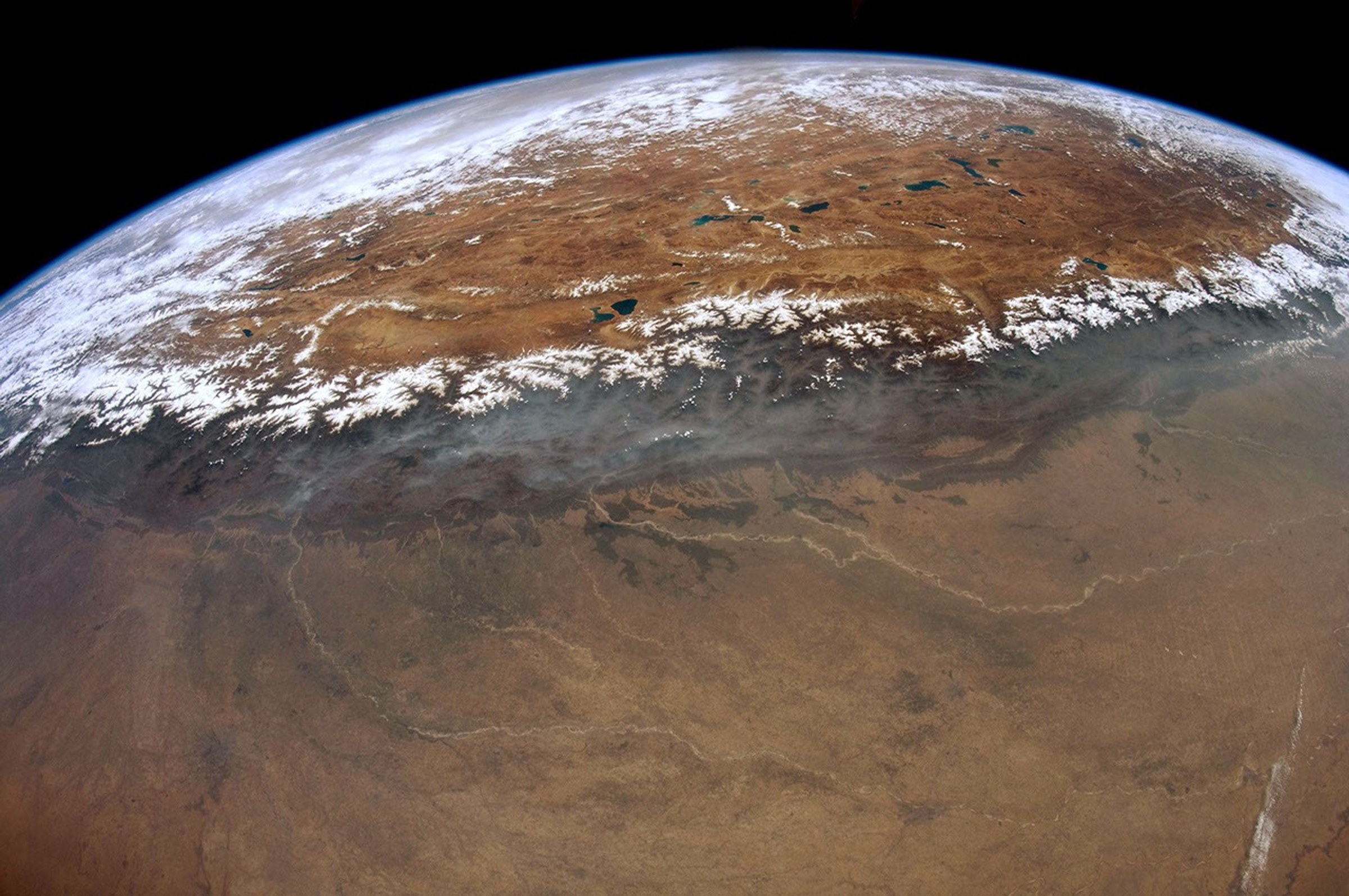
Himalayas from orbit · NASA / Don Pettit ↗