
AIR QUALITY · SEVEN EMIRATES
ENVIRONMENTAL SCIENTIST · GEOSPATIAL INTELLIGENCE
Spatial Thinking & Intelligence.
Environmental change has a geography.
So do its consequences for people.
I connect Earth observation, environmental science and spatial analysis to understand a changing world.
Faculty Research Fellow · American University of Sharjah
Former JSPS Postdoctoral Fellow · The University of Tokyo
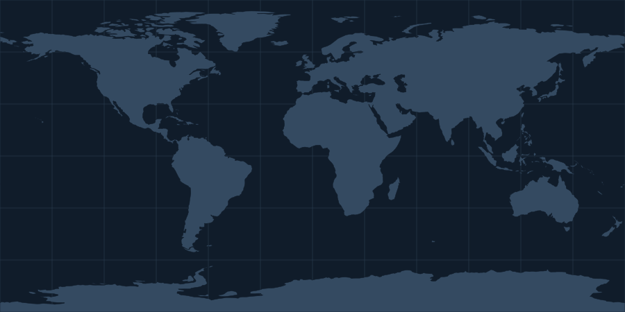
Explore the full research atlas and the places below.
Select a point to find the work behind the place.
RESEARCH-LED TOOLS & OBSERVATORIES
Science for a
changing world.
A growing suite of scientific observatories and decision-support tools, connecting research with practical questions.
Explore ResearchWatchAvailable now
AIR QUALITY · SEVEN EMIRATES
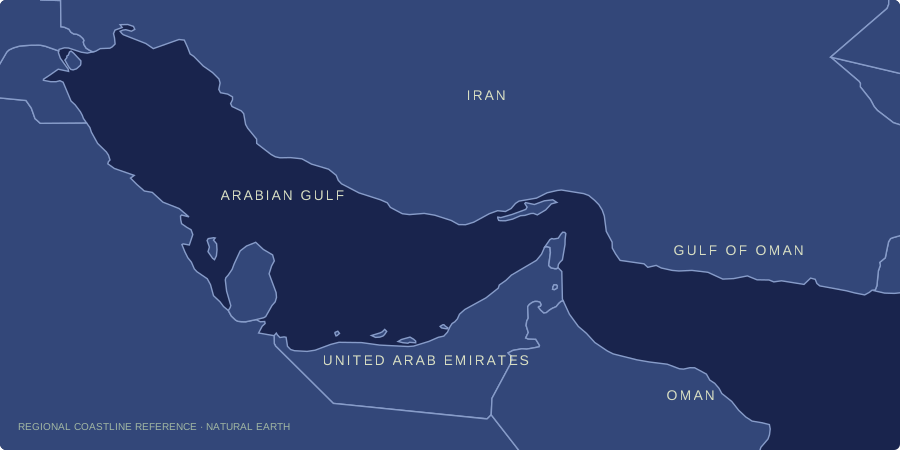
MARINE OBSERVATIONS · GULF COASTS
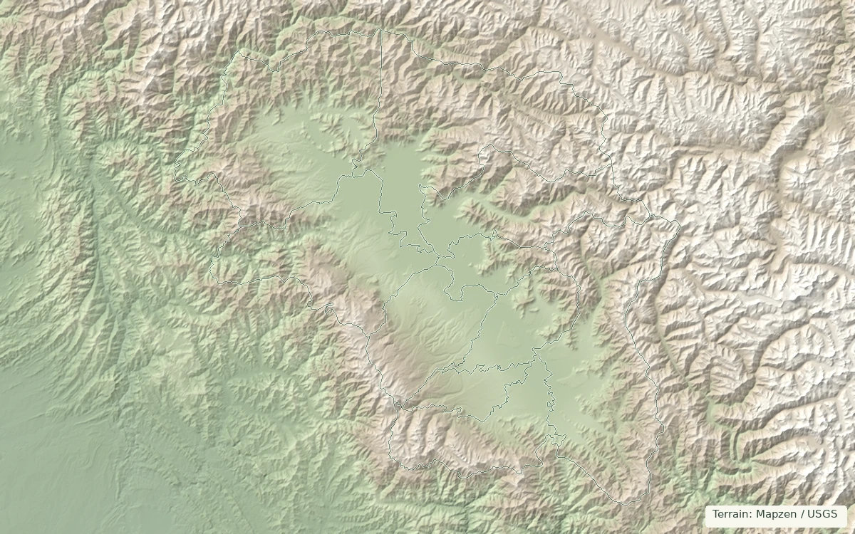
AIR QUALITY · KASHMIR VALLEY
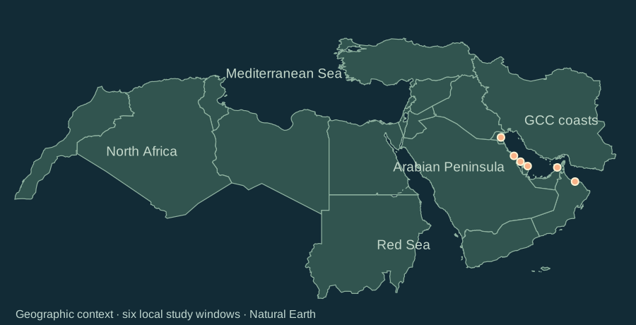
COASTAL CHANGE · MENA & GCC
LATEST RESEARCH / SCIENCE TO POLICY
Two recent papers, their findings and what they mean for decisions.
Google Scholar · Updated
Using satellite records and soil measurements from 2001–2022, our study mapped changing soil salinity across Mozambique. Estimated salinity increased across 26.98% of the country and declined across 10.88%. Urban expansion was associated with increasing salinity, while the relationship with agricultural expansion was not statistically significant.
Land-use planners can use these maps to target salinity monitoring in urbanising coastal lowlands and alluvial plains, and consider drainage and soil conditions when assessing new development.
Our review examines how satellites, drones and field sensors can monitor interacting pressures on arid mangroves. The reviewed studies show progress in mapping and detecting ecological stress, but none combines observation, forecasting, uncertainty, verification, communication and institutional response in a complete early-warning service.
Coastal managers can test locally relevant warning thresholds and agree who responds to an alert before expanding monitoring networks.
UPDATES / RESEARCH IN THE WORLD
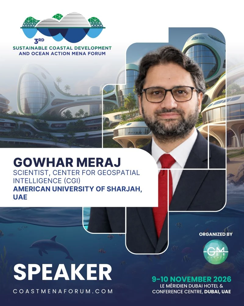
Conferences, conversations and ideas
that connect research with the world.
THE RESEARCH RECORD
Explore the work, the scholarly profiles and the record behind the research.
| Measure | All time | Recent |
|---|---|---|
| Citations | — | — |
| h-index | — | — |
| i10-index | — | — |
Citation metrics are not yet available. View the author profile.
0.6% academic–corporate collaboration
Browse publicationsScopus record · Updated
0000-0003-2913-9199
Research record · Last retrieved
Public ORCID works by publication year
RECENT PUBLICATIONS / GOOGLE SCHOLAR
Current Opinion in Environmental Sustainability 83, 101722, 2026
Climate and Development, 1-17, 2026
Theoretical and Applied Climatology 157 (9), 593, 2026
Publication year, newest first · Retrieved
THE PERSON BEHIND THE MAPS
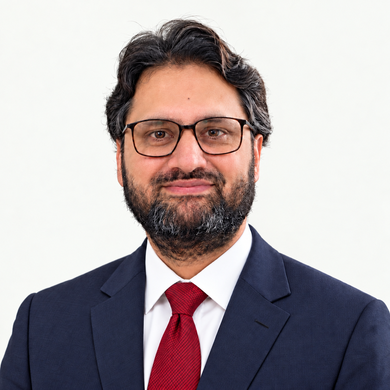
My work connects environmental processes with their consequences for ecosystems, economies and human well-being. I use Earth observation, GIScience, environmental modelling and GeoAI to examine those relationships.
From Himalayan ecosystem research to a JSPS fellowship at the University of Tokyo and my current work at the American University of Sharjah, place has shaped both my research and my perspective.
My background and research journeyA CONNECTED RESEARCH PROGRAMME
Six broad areas connected by questions of place, environmental change and human well-being.
Catchments · Groundwater · Floods
Resilience · Climate variability · Nature-based solutions
Landscapes · Environmental change · Human benefits
Natural capital · Environmental value · Development
Heat · Exposure · Disease risk
Planning · Stormwater · Urban nature
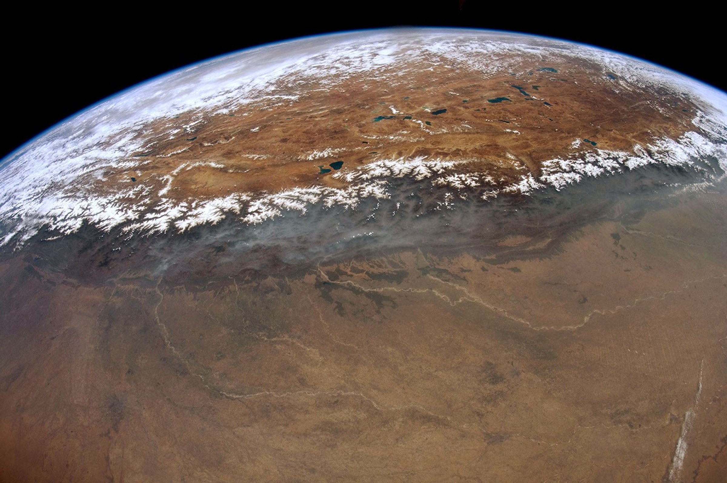
LANDSCAPES CONNECT. KNOWLEDGE SHOULD TOO.
I welcome research partnerships, academic exchange and conversations about the relationships between nature, society and environmental change.
Himalayas from orbit · NASA / Don Pettit ↗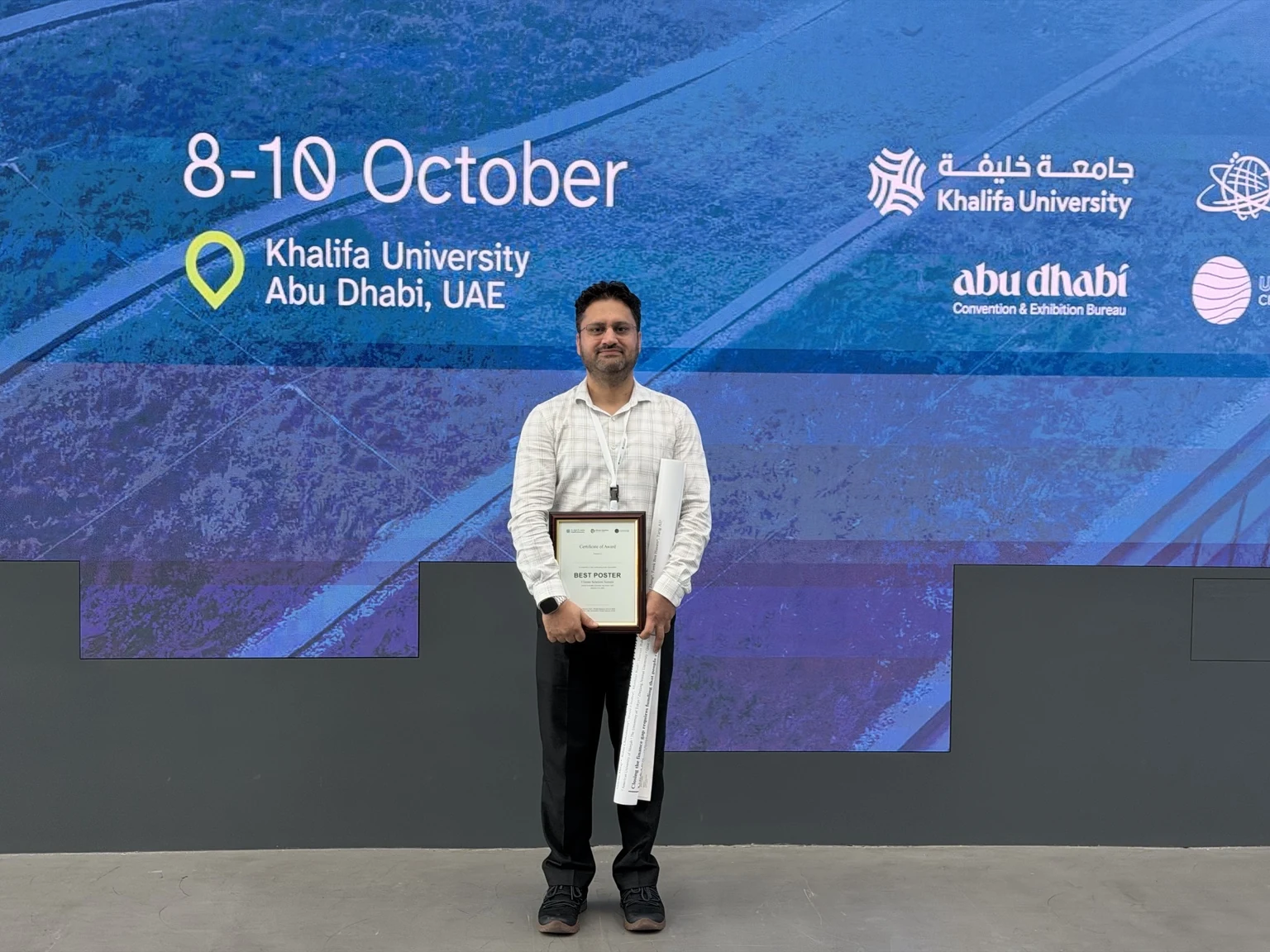
 Google Scholar
 Scopus
 ORCID